Since Wrangell residents receive their mail at the post office, there hasn’t been much need for uniform street addressing. But without a clear system, finding properties can be hard. For emergency first responders, that’s a problem.
Next month, the borough will start the second phase of its addressing project. Teams will spread out across town to map properties so that they can be given a valid street address. Some houses will receive new addresses and potentially street names, while houses out Zimovia Highway will receive addresses for the first time.
Wrangell’s economic development director Kate Thomas said they’re only going to change what is absolutely necessary.
We are going to maintain to the maximum degree possible every street name and every street or address number that is already in our database, and there are instances where that’s not feasible because it’s not going to follow the new ordinance requirements.
Thomas said situations like duplicate street names will have to be addressed. For example, there are two Grave streets and two Grief streets.
Residents receiving new addresses will eventually need to update personal identification, like driver’s licenses and passports. Land ownership documents, such as titles, are defined by their legal descriptions and should not be affected by street address changes.
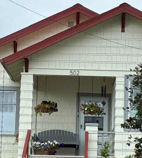
Homeowners will also be responsible for making sure their new address is clearly displayed on their property as would be required by a new ordinance. Once the maps are completed, they must be approved by the borough assembly and become law before the end of the fiscal year.
We are looking at providing the high visible, high visible adhesive style stickers that people can place on their property, so that kind of takes one burden off of the property owner.
Although this could create a period of inconvenience as homeowners update their paperwork and label their homes
Aaron Powell leads Wrangell’s volunteer fire department. He said standardized addresses will help his department’s response time
Just so we know when we get called out where we’re going. Depending on the call, seconds can matter if it’s a house fire or someone having cardiac issues.
The borough has contracted with DATAMARK Technologies for mapping services.
The company specializes in mapping for public safety applications.
When mapping starts, workers will wear designated vests and drive vehicles with the borough logo so that the community can identify them. There will also be public notices online with an official start date once it has been set.
It will cost the borough just under $120,000 to finish the project.